Abstract:
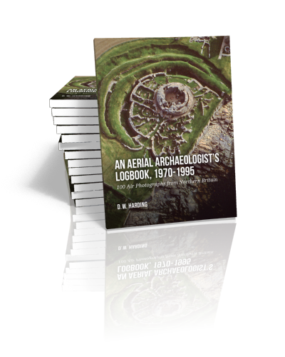
This volume comprises 100 archaeological air photographs, principally of sites dating to the Iron Age and Roman periods in Northern Britain, resulting from aerial survey between 1970 and 1995, before the advent of drones when archaeological air photography was still dependent upon the use of light aircraft. The principal target areas were the Anglo-Scottish Borders, central Scotland (crannogs) and the Northern and Western Isles (brochs and duns). Practically, in order to maximise intended outcome, the author piloted the aircraft to the target area himself, selecting the optimum orbit and height, and only handing over controls to a co-pilot when taking the photographs. Because of the fugitive nature of some archaeological features, large format cameras were used to maximise definition in addition to single-lens reflex cameras.
Archaeological air-photography in Northern Britain differs from the better-documented South, in being less concentrated on crop-mark photography. In upland landscapes, fugitive extant earthworks, such as palisaded enclosures and ‘cord-rig’ agriculture, play an important role in settlement patterns, while certain classes of settlement, like underwater crannogs, are unique in Britain to Scotland. Other classes of field monument, like brochs and duns, may have substantial upstanding remains, but their Highlands and Islands location make many remote to access other than from the air. Optimizing photographic imagery of these sites presents particular problems unique to themselves.
In the past twenty years archaeological air photography has been revolutionized by the use of drones, and by the technical advantages of digital photography over film. Though the methodology recorded here now primarily has a historiographical relevance, therefore, the academic issues of settlement and landscape archaeology remain central to current research. The classes of field monument targeted were significantly different from the norm in Britain and Europe, and the tactics deployed in capturing optimum images accordingly were often unique.
Contents
List of Colour Plates
List of Figures
Preface
1. Principles and Practice of Aerial Photography
Crop-marks
Soil-marks
Extant earthworks
Underwater sites
Transcription and plotting
2. Native and Roman in North Britain
The northern frontier of Roman Britain
Hillforts, community strongholds and lesser ditched enclosures
Farmsteads and protected settlements
Crannogs of central Scotland
Forts and brochs of Atlantic Scotland
3. Retrospect: Number One to Final
References

Prof. (em.) Dr.
D. W. Harding
Dennis Harding graduated from the University of Oxford, where he also gained his doctorate in archaeology under the supervision of Professor Christopher Hawkes. For thirty years he was Abercromby Professor of Archaeology in the University of Edinburgh, 1977-2007, serving terms as Dean of Arts and subsequently as Vice-Principal of the University. He had previously been Lecturer in Celtic Archaeology at the University of Durham, where he had taken up flying for archaeological air photography, principally operating in the Anglo-Scottish borders and in the Northern and Western Isles. His aerial survey was complemented by excavation, notably in the Western Isles, and the results of his research were included in his synthesis The Iron Age in Northern Britain (2004; second edition 2017).
read more


