


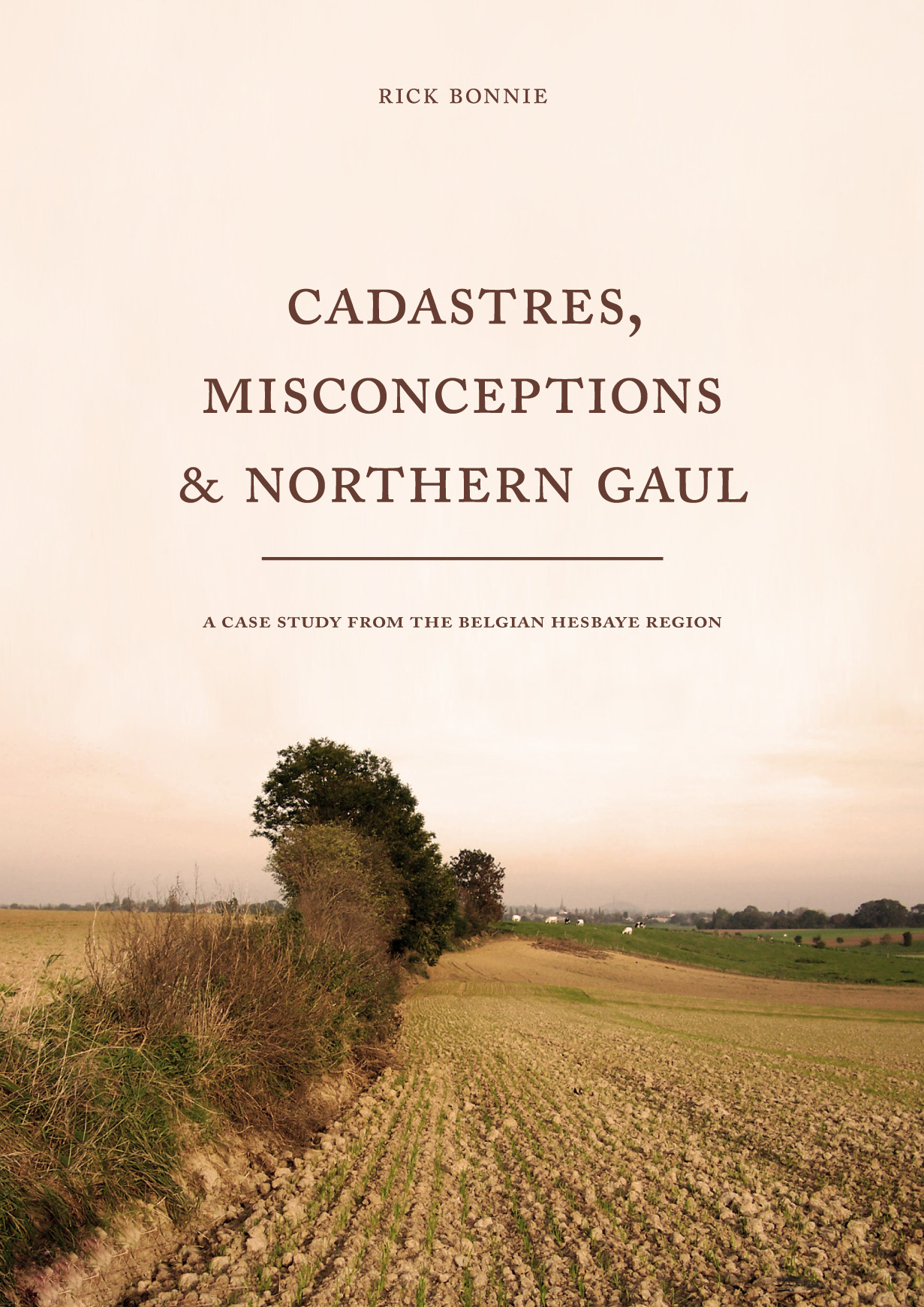
Cadastres, Misconceptions & Northern Gaul
A case study from the Belgian Hesbaye region
Rick Bonnie | 2009
Paperback ISBN: 9789088900242 | Imprint: Sidestone Press | Format: 210x297mm | 169 pp. | Language: English | Keywords: Roman archaeology, Roman settlement | download cover
Read online or downloaded 5010 times
- Digital & Online access
-
Buy via Sidestone (EU & UK)
-
Buy via our Distributors (WORLD)
For non-EU or UK destinations you can buy our books via our international distributors. Although prices may vary this will ensure speedy delivery and reduction in shipping costs or import tax. But you can also order with us directly via the module above.
UK international distributor
USA international distributor
-
Browse all books by subject
Browse by subject
-
Search all books

We will plant a tree for each order containing a paperback or hardback book via OneTreePlanted.org.
You might also like:


