


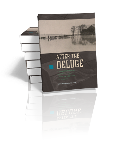
After the deluge
A palaeogeographical reconstruction of Bronze Age West-Frisia (2000-800 BC)
Wilko van Zijverden | 2017
After the deluge
A palaeogeographical reconstruction of Bronze Age West-Frisia (2000-800 BC)
Wilko van Zijverden | 2017
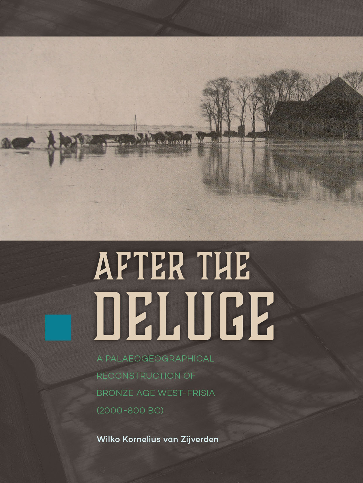
Paperback ISBN: 9789088904066 | Hardback ISBN: 9789088904073 | Imprint: Sidestone Press Dissertations | Format: 210x280mm | 186 pp. | Language: English | 11 illus. (bw) | 55 illus. (fc) | Keywords: palaeogeography, West-Frisia, Bronze Age, landscape development, vegetation reconstruction, prehistory, archaeology | download cover
Read online or downloaded 1638 times
-
Digital & Online access
This is a full Open Access publication, click below to buy in print, browse, or download for free.
-
Buy via Sidestone (EU & UK)
-
Buy via our Distributors (WORLD)
For non-EU or UK destinations you can buy our books via our international distributors. Although prices may vary this will ensure speedy delivery and reduction in shipping costs or import tax. But you can also order with us directly via the module above.
UK international distributor
USA international distributor
-
Bookinfo
Paperback ISBN: 9789088904066 | Hardback ISBN: 9789088904073 | Imprint: Sidestone Press Dissertations | Format: 210x280mm | 186 pp. | Language: English | 11 illus. (bw) | 55 illus. (fc) | Keywords: palaeogeography, West-Frisia, Bronze Age, landscape development, vegetation reconstruction, prehistory, archaeology | download cover
Read online or downloaded 1638 times
We will plant a tree for each order containing a paperback or hardback book via OneTreePlanted.org.
After World War II huge land consolidation projects measuring thousands of hectares were carried out in West-Frisia. Large scale excavations of Bronze Age settlement sites were carried out resulting in a convincing model for the Bronze Age habitation of West-Frisia. This model envisaged settlement sites situated on creek ridges in an open almost treeless landscape. After a sudden change in climate c. 800 cal BC parts of the landscape were inundated, peat bogs developed and West-Frisia was abandoned by man. It was widely believed that this densely inhabited Bronze Age landscape was almost completely destroyed during the land consolidation projects. At the start of this century, however, it turned out that well preserved Bronze Age settlement sites still exist in West-Frisia. These sites were not only well-preserved but also situated at unexpected locations. The excavation results also gave reason to think of the presence of woodlands and forests during the Bronze Age.
This thesis tries to unite the excavation results from the period of land consolidation and those of the later development led projects. In this thesis the palaeogegraphy is described at three scale levels. West-Frisia, the land consolidation project of Westwoud and several settlement sites. Based on an analysis of excavation results and environmental proxy data, a new model for the development of the landscape and habitation of West-Frisia during the Bronze Age emerges. For the construction of the palaeogeographical maps of Westwoud, a new approach is used, based on, amongst others, macro botanical remains. The thesis concludes with an alternative strategy for the prospection of Bronze Age sites in West-Frisia. This thesis is of interest for anyone who is professionally interested in the habitation history of West-Frisia and people who are professionally engaged with palaeogeographical and vegetation reconstructions.
1. After the deluge: an introduction
1.1. Project outlines
1.2. Structure and development of the physical landscape between 2000 and 800 cal BC
1.3. Site location preferences
1.4. Restraints and opportunities of the environment
1.5. For what use?
2. The history of landscape research in West-Frisia
2.1. Introduction
2.2. Prelude
2.3. Pioneers
2.4. Land consolidation
2.5. The palaeogeographical model
2.6. The habitation model
2.7. The palaeogeography of the Netherlands
2.8. After “Valletta”
2.9. Concluding remarks
3. Communicating vessels, reconstruction of the landscape of West-Frisia at scale 1:100.000
3.1. Introduction
3.2. Model: coastal development and the appearance of the landscape
3.3. Morphology: constructing an image
3.4. Time: dating the landscape
3.5. Habitation: the archaeological record
3.6. A new palaeogeographical map of West-Frisia
3.7. Concluding remarks
4. Reconstructing the surroundings of a Bronze Age farmstead in a wetland environment
4.1. Introduction
4.2. Palaeogeographical reconstructions of wetland sites: an overview
4.3. Methods
4.4. Case-study Westwoud
4.5. Concluding remarks
5. Site location: local variation or uniformity?
5.1. Introduction
5.2. The model
5.3. An uniform description
5.4. A selection of sites
5.5. The test: De Rikkert
5.6. Concluding remarks
6. Bronze Age sites are everywhere! Predictive modelling in eastern West-Frisia
6.1. Introduction
6.2. Archaeology in the Netherlands
6.3. Predictive modelling: De Rikkert
6.4. A new policy document?
6.5. Concluding remarks
7. Conclusions
7.1. Introduction
7.2. The structure and development of the West-Frisian landscape
7.3. Site location and predictive modelling
7.4. Restraints and opportunities of the environment
7.5. Epilogue
Samenvatting
References
List of figures
List of tables
Appendix 1: Dates
Appendix 2: Phytosociological vegetation classes
Appendix 3: Archaeological reports eastern West-Frisia
Acknowledgements
Curriculum vitae
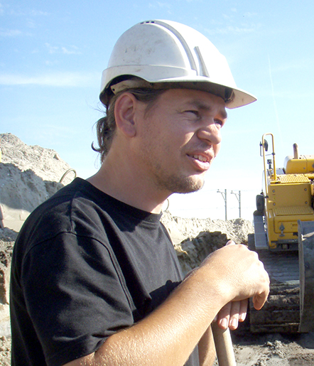
Drs. Wilko van Zijverden
Wilko van Zijverden received his master’s degree in Quaternary geology (1991). The subject of the Master’s thesis was a reconstruction of the Late Weichselian landscape of the Bommelerwaard in the central river area of the Netherlands. In august 1997 he received his master’s degree in ecological archaeology. In august 2011 he was part-time posted at Leiden University for a period of five years in the project “Farmers of the Coast”.
Van Zijverden, W. (2017). After the deluge. A palaeogeographical reconstruction of Bronze Age West-Frisia (2000-800 BC). Sidestone Press.
Abstract:
After World War II huge land consolidation projects measuring thousands of hectares were carried out in West-Frisia. Large scale excavations of Bronze Age settlement sites were carried out resulting in a convincing model for the Bronze Age habitation of West-Frisia. This model envisaged settlement sites situated on creek ridges in an open almost treeless landscape. After a sudden change in climate c. 800 cal BC parts of the landscape were inundated, peat bogs developed and West-Frisia was abandoned by man. It was widely believed that this densely inhabited Bronze Age landscape was almost completely destroyed during the land consolidation projects. At the start of this century, however, it turned out that well preserved Bronze Age settlement sites still exist in West-Frisia. These sites were not only well-preserved but also situated at unexpected locations. The excavation results also gave reason to think of the presence of woodlands and forests during the Bronze Age.
This thesis tries to unite the excavation results from the period of land consolidation and those of the later development led projects. In this thesis the palaeogegraphy is described at three scale levels. West-Frisia, the land consolidation project of Westwoud and several settlement sites. Based on an analysis of excavation results and environmental proxy data, a new model for the development of the landscape and habitation of West-Frisia during the Bronze Age emerges. For the construction of the palaeogeographical maps of Westwoud, a new approach is used, based on, amongst others, macro botanical remains. The thesis concludes with an alternative strategy for the prospection of Bronze Age sites in West-Frisia. This thesis is of interest for anyone who is professionally interested in the habitation history of West-Frisia and people who are professionally engaged with palaeogeographical and vegetation reconstructions.
Contents
1. After the deluge: an introduction
1.1. Project outlines
1.2. Structure and development of the physical landscape between 2000 and 800 cal BC
1.3. Site location preferences
1.4. Restraints and opportunities of the environment
1.5. For what use?
2. The history of landscape research in West-Frisia
2.1. Introduction
2.2. Prelude
2.3. Pioneers
2.4. Land consolidation
2.5. The palaeogeographical model
2.6. The habitation model
2.7. The palaeogeography of the Netherlands
2.8. After “Valletta”
2.9. Concluding remarks
3. Communicating vessels, reconstruction of the landscape of West-Frisia at scale 1:100.000
3.1. Introduction
3.2. Model: coastal development and the appearance of the landscape
3.3. Morphology: constructing an image
3.4. Time: dating the landscape
3.5. Habitation: the archaeological record
3.6. A new palaeogeographical map of West-Frisia
3.7. Concluding remarks
4. Reconstructing the surroundings of a Bronze Age farmstead in a wetland environment
4.1. Introduction
4.2. Palaeogeographical reconstructions of wetland sites: an overview
4.3. Methods
4.4. Case-study Westwoud
4.5. Concluding remarks
5. Site location: local variation or uniformity?
5.1. Introduction
5.2. The model
5.3. An uniform description
5.4. A selection of sites
5.5. The test: De Rikkert
5.6. Concluding remarks
6. Bronze Age sites are everywhere! Predictive modelling in eastern West-Frisia
6.1. Introduction
6.2. Archaeology in the Netherlands
6.3. Predictive modelling: De Rikkert
6.4. A new policy document?
6.5. Concluding remarks
7. Conclusions
7.1. Introduction
7.2. The structure and development of the West-Frisian landscape
7.3. Site location and predictive modelling
7.4. Restraints and opportunities of the environment
7.5. Epilogue
Samenvatting
References
List of figures
List of tables
Appendix 1: Dates
Appendix 2: Phytosociological vegetation classes
Appendix 3: Archaeological reports eastern West-Frisia
Acknowledgements
Curriculum vitae
Drs. Wilko van Zijverden
Wilko van Zijverden received his master’s degree in Quaternary geology (1991). The subject of the Master’s thesis was a reconstruction of the Late Weichselian landscape of the Bommelerwaard in the central river area of the Netherlands. In august 1997 he received his master’s degree in ecological archaeology. In august 2011 he was part-time posted at Leiden University for a period of five years in the project “Farmers of the Coast”.
-
Digital & Online access
This is a full Open Access publication, click below to buy in print, browse, or download for free.
-
Buy via Sidestone (EU & UK)
-
Buy via our Distributors (WORLD)
For non-EU or UK destinations you can buy our books via our international distributors. Although prices may vary this will ensure speedy delivery and reduction in shipping costs or import tax. But you can also order with us directly via the module above.
UK international distributor
USA international distributor
- Browse all books by subject
-
Search all books
We will plant a tree for each order containing a paperback or hardback book via OneTreePlanted.org.


© 2026 Sidestone Press KvK nr. 28114891 Privacy policy Sidestone Newsletter Terms and Conditions (Dutch)